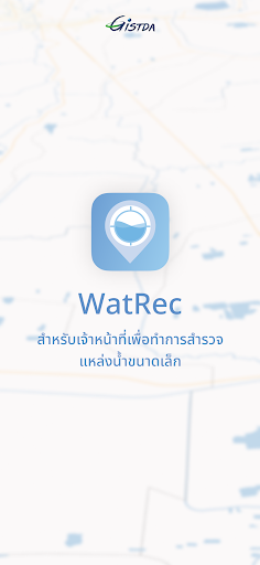
WatRec
by สำนักงานพัฒนาเทคโ&...
Features WatRec
Application for measuring water levels From advanced geospatial technology to receive accurate and timely water level measurements.
Stay informed about even the slightest water level changes.
This ensures that you stay ahead of potential problems.
Transform complex data into easy-to-understand graphs and trends.
Shows images of changes in water levels over time.
Helps you make informed decisions about water use.
land management and more.
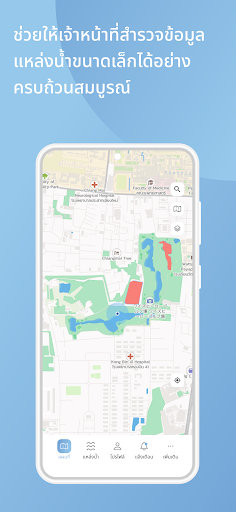
Additionally, WatRec leverages state-of-the-art geospatial mapping to visualize water levels in various locations.
Whether its a single pond The ponds are connected together to form a network.
or the entire basin WatRecs geospatial technology provides a comprehensive view for better insights.
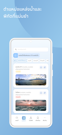
WatRecs intuitive interface ensures easy access and interpretation of water level data for users of all backgrounds.
No technical expertise required, helping to make informed decisions regarding land use planning.
construction projects and more with accurate insights into your propertys water levels.
Social Features
Connect and share with friends and the community.
24/7 Support
Our dedicated support team is always ready to help you.
See the WatRec in Action
Get the App Today
Available for Android 8.0 and above